|
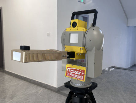
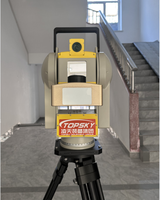
4.1 Host Parameters:
1. Maximum monitoring distance: 300M
2. Collection interval: 1-6min
3.Resolution: 0.3m×3mrad
4. Monitoring range: 360°
5. Deformation monitoring accuracy: ±0.1mm
6. Data collection time: ≤1min
7. Monitoring conditions: 24 hours, automatic detection
8. Power supply requirement: AC220V/DC 48V.
9. Protection level: IP66;
10. Working temperature: -30℃ -60 ℃;
11. With hardware self-recovery function, reserved repair interface can be inserted into repair accessories to automatically restore factory Settings;
12. The configuration of radar data playback software, can automatically replay the echo signal waveform and view the calibration signal;
13. With built-in GNSS function, can achieve differential positioning;
14. With automatic orientation function;
15. With atomic clock level Beidou navigation satellite system timing function, frequency accuracy is better than ±0.5ppb (24-hour measurement results);
16. Radar system integration camera for scene monitoring, camera and radar system connection line is not exposed, video surveillance function interface and radar system control system interface integration, can capture scene images through radar system control system interface;
17. The system connection is simple, and the connection of the radar function modules is routed inside the system as far as possible, and the entire radar system is connected with no more than 4 cables.
4.2 Software Parameters:
1. The local end directly performs data acquisition and deformation processing, and completes the automatic processing of radar echo imaging, interference processing, and small deformation inversion;
2. The software can identify the operating status of the radar and azimuth positioning mechanism, and can view the operating status of the azimuth positioning mechanism and scan the operating position through the software in real time;
3. It can realize the registration of radar monitoring data and three-dimensional terrain, and automatically register according to the submitted point cloud data; Support UAV modeling, CAD 3D modeling, laser 3D point cloud modeling data and radar data fusion;
4. Effective management of monitoring data, able to query and analyze data on time, day, week and month;
5. Provide 3D visual operation interface, users can carry out single point, regional data analysis;
6. Provide point-by-point and region-by-area analysis of displacement, velocity and acceleration;
7. With deformation color display, mail alarm, SMS alarm warning mode;
8. Can select the extreme value, the mean value of deformation, deformation speed, acceleration curve display function, the extreme value and the mean value can be displayed separately, or can be displayed in combination;
9. The alarm threshold can be set according to the deformation value, deformation speed, deformation acceleration, cumulative deformation value and other alarm variables. The selection of alarm variables can be selected either individually or any combination thereof, and the alarm time interval can be set;
10. The monitoring area selection method provides linear polygon, curve polygon, etc., which can indicate the position of at least three points of the maximum deformation in the area, and can display the deformation, deformation speed and deformation acceleration curve of the maximum deformation point;
11. It can diagnose the overall operating status of the radar system and provide the status and diagnostic information, and can real-time monitor the radar waveform state, data coherence quality, scanning position operating status, and realize the rapid positioning of the fault module;
12. Provide a variety of data display and query methods: real-time data, daily data, weekly data, monthly data, annual data;
13. It has the function of air-varying atmospheric phase distributed correction and multi-stage slope interference phase unwinding;
13.1 Can diagnose the overall operating status of the radar system and provide status and diagnostic information, can real-time monitor the radar waveform state, data coherence quality, scanning position operating status, can achieve rapid fault module positioning.
|


 Your message must be between 20-3,000 characters!